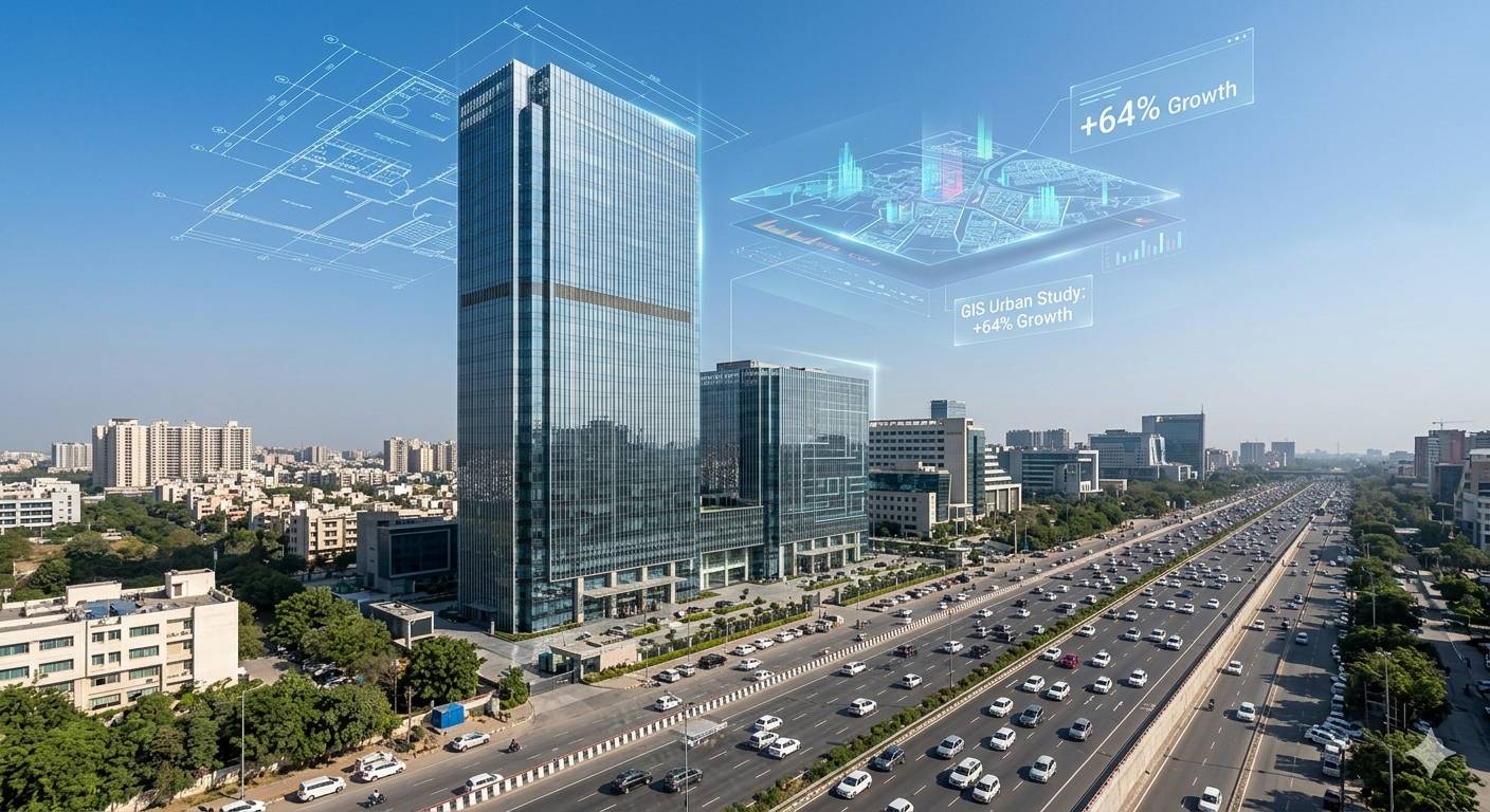
A breakthrough geospatial analysis has exposed the rapid physical transformation of the National Capital Region’s leading property hub. A data-backed GIS study reveals that Gurugram’s built-up area expanded by 64% over the last decade, soaring from 102.50 sq. km. to 168.20 sq. km.
Conducted by the Geographic Information System (GIS) division of the Gurugram Metropolitan Development Authority (GMDA) using advanced satellite imagery and machine learning, the findings underscore a massive urban infill wave. For international real estate funds and local property buyers, this concrete data establishes exactly where real estate valuation growth will remain most resilient through 2030.
This unprecedented expansion has converted vast tracts of rural and agricultural peripheral land into highly dense, commercial-residential zones. The data shows that developers have systematically capitalized on the city’s macro-transit corridors to absorb massive buyer demand. As a result, this rapid physical footprint increase shifts the local real estate paradigm away from speculative land purchasing toward data-driven asset placement. Institutional investors can now precisely analyze high-density clusters to predict future rental demand, while municipal bodies use these exact spatial maps to coordinate public utility expansions with private tower completion timelines.
Mapping the Expansion: Top High-Growth Corridors

The GMDA GIS mapping highlights that the 65.7 sq km of fresh physical footprint did not expand uniformly. Instead, it moved aggressively along a few major regional transit networks.
The core development clusters driving this 64% expansion include:
- The Dwarka Expressway Zone: Serving as a primary corridor for luxury skyscraper societies and tech-enabled smart complexes.
- Southern Peripheral Road (SPR): Emerging as a massive investment hub connecting older core areas with newer transit lines.
- Golf Course Road Extension: Capturing premium commercial high-streets and global branded duplex skyscraper projects.
- New Gurgaon Sectors: Transforming rapidly into dense residential pockets that mimic mini-cities to satisfy mid-market family housing demand.
Infrastructure Pressure Points: What the GIS Study Tracks
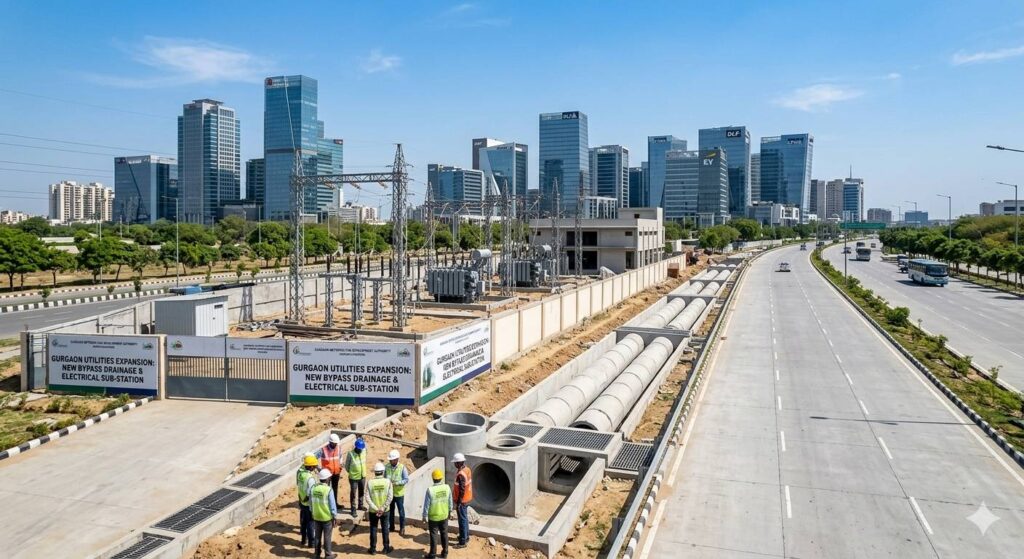
This rapid pace of real estate development creates a crucial planning lesson. Residential and commercial concrete spaces are expanding at a velocity that demands proactive public engineering.
The GMDA will leverage these geospatial insights to prioritize infrastructure sequencing:
- Centralized Stormwater Drainage: Engineering networks along the peripheral growth belts to completely eliminate seasonal monsoon waterlogging.
- Centralized Water Pipelines: Transitioning emerging sectors away from private groundwater and borewell reliance.
- Electrical Sub-Station Scaling: Upgrading localized smart grids to minimize residential dependence on diesel generators (DG).
- Targeted Transit Mapping: Aligning future corporate metro paths and multi-lane concrete flyovers directly with high-density clusters.
Pros & Cons for Real Estate Portfolios
Pros
- Scientifically Vetted Horizons: The GMDA study allows investors to identify under-penetrated micro-markets ripe for early-stage capital appreciation.
- Resilient Corporate Leasing: Rapid spatial growth is continuously backed by expanding Global Capability Centers (GCCs) and institutional office demand.
- Data-Driven Governance: Real-time spatial tracking lowers the risk of chaotic, unplanned suburban sprawl, protecting long-term real estate valuations.
Cons
- Last-Mile Delays: Peripheral or edge locations can sometimes face temporary municipal utility gaps while grid networks expand.
- Inventory Concentration Risks: Simultaneous multi-tower project deliveries require strategic asset diversification to keep rental yields optimized.
The Strategic Investment Verdict
The era of speculative real estate purchasing in Gurgaon is shifting into evidence-based asset placement. Portfolios prioritizing long-term capital preservation should secure positions directly intersecting the major expressway vectors tracked by the GMDA. Focus capital on Sectors 65, 111, and the SPR nodes where transport infrastructure is already operational, ensuring immediate tenant absorption and high rental yields.
Want to align your investment portfolio with Gurugram’s highest-growth GIS corridors? Connect with our institutional property advisory desk today to review fully vetted, RERA-compliant projects with guaranteed master utility hookups.
- Call / WhatsApp Us: +91-88-606060-77
- Enquire Now: Access a customized geospatial real estate roadmap detailing upcoming top-performing sectors.